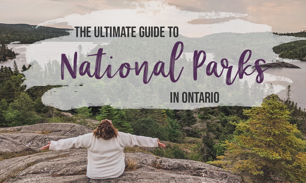
The Ultimate Guide to National Parks in Ontario
There are 48 national parks in Canada, and six of them right here in Ontario. Each park protects a specific ecosystem in Ontario from the dramatic cliffs of the Bruce Peninsula to the vital bird habitat of Point Pelee. This ultimate guide to the national parks in Ontario includes everything you need to know about each park, the best hikes, and where to stay.
I love Canada’s national parks. What’s not to love? There are huge wild spaces, fantastic wildlife, incredible hiking, jaw-dropping vistas, and there are 48 of them across the country. It doesn’t get much better.
Some of Ontario’s National Parks are super accessible, like Rouge National Urban Park; others, like Pukaskwa, are a little more remote. No matter which national park in Ontario you choose, you’re bound to have a good time. There are so many great places to explore, so if you want to get out there are go for your first camping trip, or maybe you’d like to try backpacking, Ontario’s national parks are a great place to get started.
How many national parks are there in Ontario?
Of the 48 national parks in Canada, six of them reside in Ontario. The parks encompass six different ecosystems, totalling more than 2,100 sq. km of protected land.
Where are the National Parks in Ontario?
As I mentioned, each of Ontario’s national parks protects a different ecosystem. The six parks are:
Bruce Peninsula National Park is located near Tobermory, protecting the dramatic cliffs of the Niagara Escarpment;
Georgian Bay Islands National Park is located in Muskoka, protecting the biosphere of the islands of Georgian Bay;
Point Pelee National Park is located near Windsor and protects Lake Erie wetlands;
Pukaskwa National Park is located near Marathon, protecting land along the shores of Lake Superior;
Rouge National Urban Park is located in Toronto and protects the Rouge River watershed; and
Thousand Islands National Park is located near Kingston, protecting a biosphere at the mouth of the St. Lawrence River.
If you’re from the city, then know that five of the six parks are within a three-hour drive of Toronto, which makes these parks accessible to most of the population in the province.
Why visit Ontario’s National Parks?
There are over 300 provincial parks and over 500 conservation areas in Ontario. So, why visit Ontario’s six national parks? Well, the national parks in Ontario reflect Canada’s heritage, both natural and human history, and are a great way to enjoy time outside in some of the most stunning landscapes in the province.
So really, the question is, why haven’t you visited Ontario’s national parks already?!
What does it cost to visit Ontario’s National Parks?
In the national parks in Ontario, costs vary for things like mooring, boat launching, day use, front country camping, backcountry camping, roofed accommodation and more.
Parks Canada gives free admission for youth 17 and under.
Prices fluctuate every year and from park to park. For up-to-date fee information, visit the Parks Canada website for the park you wish to visit and click on the fees page. The ranges for the common reservation types are:
oTENTiks range from $100 to $125
Backcountry camping runs around $10 to $15
Front country non-electrical camping ranges from $16 to $26
Day use ranges from $6.80 to $11.70
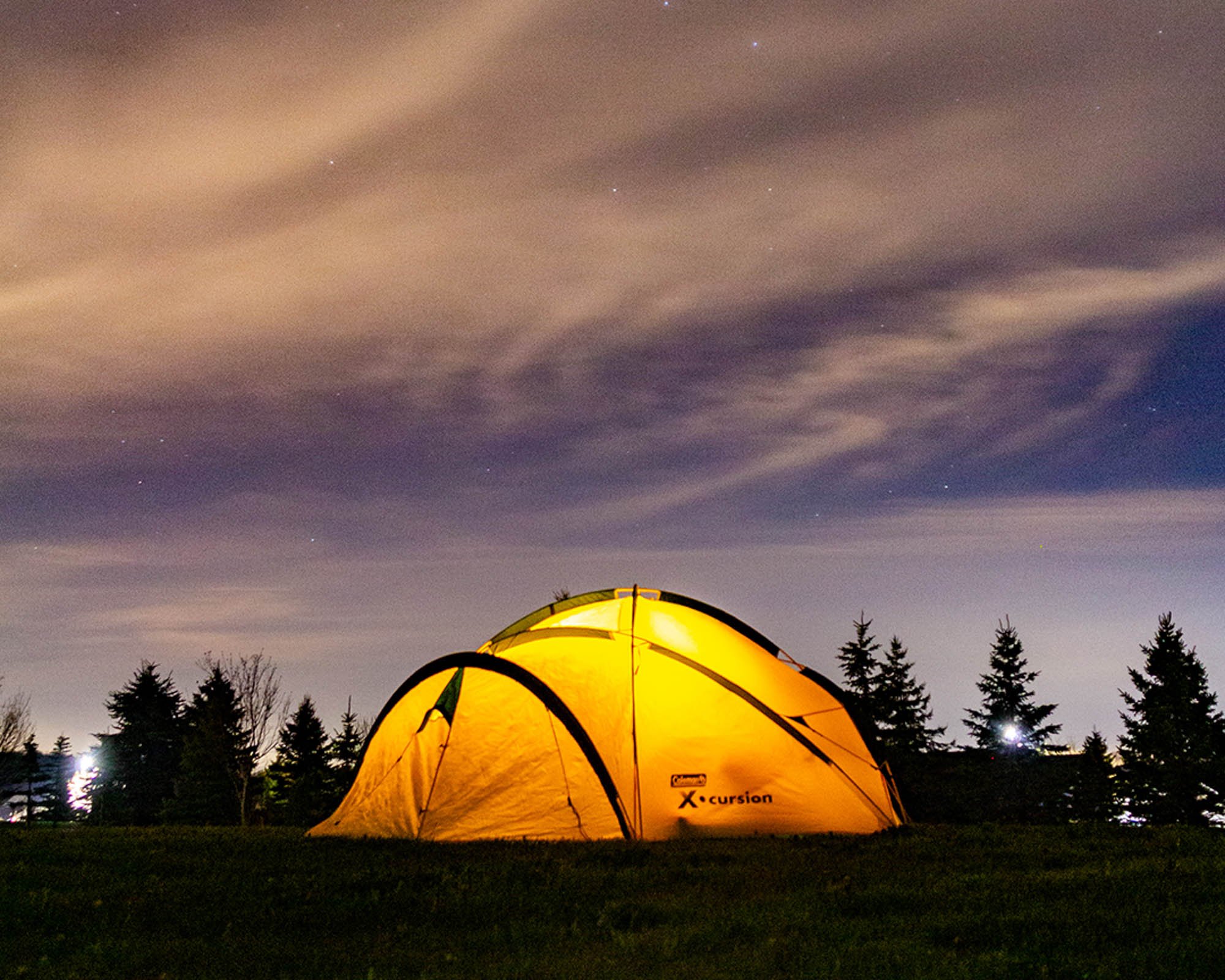
The best way to get the most out of your visit to national parks in Ontario is to camp. Camping allows you to see the sunrise, or to build a campfire, and even better, see the stars without light pollution. But not everyone can stay overnight, so get yourself a Discovery Pass, which costs just over $69 and get you into any park across Canada.
What are oTENTiks?
The roofed accommodations available at most of the national parks in Ontario are called oTENTiks. An oTENTik is a cross between a cabin and a tent, very similar to a yurt, but it looks more like an A-Frame.
Each oTENTik comes with a sleeping area for six people, a table and chairs, a solar-powered charging area, a fire pit, Muskoka chairs and a barbecue. Washrooms are located nearby, but not in the oTENTik.
You’ll have to bring sleeping bags, food and water, cooking equipment, flashlights and more. Learn more about Parks Canada oTENTiks.
2021 update: Some parks or facilities may be closed or restricted this year. Please check ahead and do your part to limit exposure.
The best National Parks in Ontario to visit
Of the six national parks in Ontario, it might be hard to decide which park to visit. Each one has different ways to enjoy and experience it. You could take a day trip to most of them, or camp at others. The following list of national parks in Ontario will help you figure out which park to visit and what to see when you get there. I’ll go through the history of the national parks, the best viewpoints, the best hikes, where to stay and other information to help you decide.
Thousand Islands National Park
One of the six national parks in Ontario is Thousand Islands National Park, located about 40 minutes northeast of Kingston or three hours east of Toronto in Eastern Ontario. This park consists of islands, islets and three mainland properties, including the visitor centre in Mallorytown Landing, all scattered along the mouth of the St. Lawrence River.
While one of the smaller national parks in Ontario, it is the oldest. Thousand Islands National Park was established in 1904, the first park created east of the Rocky Mountains. It was established to protect the Frontenac Axis, a geological area between the Canadian Shield and the Adirondack Mountains. This place is known as being one of the most biodiverse regions in Canada.
Hours of Operation
Thousand Islands National Park is open from Victoria Day weekend to Thanksgiving weekend (May to October). You can find the complete schedule here and the current fees here.
Best hikes in Thousand Islands National Park
While most of Thousand Islands National Park is only accessible by boat, there are trail systems located in the mainland sections.
In the Mallorytown Landing area of the park, there are two trails, Six Nations Trail and Smokey Fire Trail. The Jones Creek mainland section of the park has seven trail loops ranging from 600 metres to 4.1kms.
The Landon Bay mainland section also has seven trails ranging in length. The Donovan Trail leads you to Kay’s Bridge, a dry-stone bridge built in 2010 to cross a creek in the area. The stone was collected from a historic homestead in the area.
Other exciting trails located on the islands include Cedar Island, where a trail leads to Cathcart Tower, a historic Martello tower built in the 1840s to defend the entrance to the Rideau Canal. Elsewhere you could spend months here exploring the trails on each of the islands and islets.
Where to stay near Thousand Islands National Park
There are a couple of places to camp at Thousand Islands National Park. At Mallorytown Landing, there are five oTENTiks available for reservation. On the islands, there are 60+ reservable backcountry campsites and two reservable oTENTiks.
Don’t miss
The best way to see this park is by boat. If you have a boat, super! You can launch at Mallorytown Landing. If you don’t have a boat, there are many outfitters in the area that you can rent kayaks, canoes, paddleboards and more from.
If you’re not comfortable with launching a kayak (or similar) in what is effectively a shipping channel, you can take a water taxi to one of the islands.
Share the chair locations
Don’t miss the Red Chairs in Thousand Islands National Park! One set of chairs are located in the Mallorytown Landing area of the park, just beyond the visitor centre, overlooking the river. Another set is located in the Jones Creek section of the park along the Heron loop trail. Another set is located on Gordon Island, near the centre dock. Some of the harder Red Chairs to find are on Beau Rivage Island, Camelot Island and Aubrey Island.
RELATED: Travel to Dark Sky Preserves in Canada and see the stars without light pollution [+Map]
Bruce Peninsula National Park/ Fathom Five National Marine Park
Bruce Peninsula National Park is probably the most popular of national parks in Ontario. It’s dramatic cliffs surrounded by the turquoise waters of Georgian Bay make it a rugged, picturesque place. Further inland, the park turns into a forest with wetlands, cedar groves and more.
The main attraction of Bruce Peninsula National Park is the Grotto, a scenic cave containing a pool of blue water, on the rugged shores of the Niagara Escarpment. This rock formation is marvellous, and there’s no wonder this park gets busy just to see it.
Bruce Peninsula was established in 1987 to protect this area of the Niagara Escarpment and makes up a large chunk of a UNESCO World Biosphere Reserve.
Because of its northern location, there are black bears that roam the forests, and the only venomous snake in Ontario, the Massasauga Rattlesnake, loves the rocky terrain of the area.
Hours of Operation
The visitor centre is open from spring to fall and closed during the winter months. You can still go up the tower in the winter. The parking lot close to the Grotto can get full by 10 am on most days during the summer. And typically, the roads into the Visitor Centre always gets packed on the weekends. Plan your trip carefully and use the registration system online to book your time slot.
Best hikes in Bruce Peninsula National Park
There are so many hiking opportunities in Bruce Peninsula National Park. A portion of the Bruce Trail runs through the park, which makes for excellent but challenging hiking.
The other trails in the park include the easy 5km Cyprus Lake Trail, the moderate-difficulty Georgian Bay - Marr Lake Trail that takes you in a 3km loop from the parking lot to Indian Head Cove, the Grotto, Boulder Beach and back, the moderately difficult 1km Halfway Log Dump Trail that takes you to a pebble beach and more.
At the Visitor Centre, you can also head out on a hike of the Bruce Trail to Little Dunks Lookout or the longer Burnt Point Loop side trail to a lookout.
Hiking in the area is difficult. Please wear proper shoes for the conditions. The amount of times I’ve seen people hiking in flip flops is unreal. It’s really dangerous, so be smart and hike smart.
Where to stay near Bruce Peninsula National Park
There are 281 front country campsites in Bruce Peninsula National Park, and 10 yurts at Cyprus Lake campground. All sites are non-serviced, meaning no electricity for trailers. There are also 18 backcountry sites located Stormhaven and High Dump backcountry campgrounds.
Don’t miss
Don’t miss visiting the Visitor Centre and lookout tower. The visitor centre offers exciting exhibits, a theatre for hourly presentations, and interpretive programs. Nearby there’s a 65-foot lookout tower that gives you an incredible vista of Tobermory and surrounding Georgian Bay.
Share the chair locations
There are two places you can find the red chairs in Bruce Peninsula National Park/ Fathom Five National Marine Park. One set is on Flowerpot Island near the large flowerpot rock formation. The other set is along the Cyprus Lake Trail near the campground.
RELATED: Beginner’s guide to camping + camping essentials + recipes [free checklist]
Fathom Five National Marine Park
Fathom Five National Marine Park is one of three marine conservation areas in Canada. This park protects the freshwater ecosystem of ancient rock formations, islands and 22 shipwrecks in the archipelago off the coast of Tobermory.
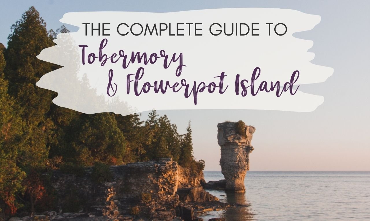
Flowerpot Island is one of the most memorable experiences in Fathom Five National Marine Park. On the island, you can hike around to the natural “Flowerpot” rock pillars, caves and a historic light station. You can only get there by boat, whether you take a non-motorized boat or take one of the Flowerpot Island cruises that also visit some of the famous shipwrecks.
You can even camp on the island since there are six backcountry sites near Beachy Cove.
RELATED: The Complete Guide to Tobermory and Flowerpot Island Camping
Georgian Bay Islands National Park
Georgian Bay Islands National Park encompasses the largest freshwater archipelago in the world and one of two national parks in Ontario that include islands. The 63 islands of exposed Canadian Shield and rugged pine make up about 14 sq. km of parkland. The largest island is Beausoleil Island, which is where you’ll find most of the camping and hiking. The national park was established in 1930 to protect this beautiful area in Ontario’s cottage country.
Georgian Bay Islands National Park can only be accessed by boat, which means if you’re deciding to stay for the day or for camping, you’ll have to find your way over to the island.
Parks Canada offers passage on the Day Tripper for those not staying on the island (temporarily suspended for 2020). Leaving from Honey Harbour, the boat takes you to either Cedar Spring in the south end of Beausoleil Island of Chimney Bay in the north end. You have to reserve your spot on the boat, which only leaves three times a day and only has three return times. However, dogs, camping equipment and recreational equipment are not allowed. This boat is only for day-trippers or those staying in the roofed accommodations.
For those looking to get to the island for camping, you’ll have to book a water taxi (or use your own boat). The taxis are easy to arrange, and there are several companies in Honey Harbor that you can call to book with. We went with the Honey Harbor Boat Club, which offers parking and water taxi services to Beausoleil Island.
Hours of Operation
The Georgian Bay Islands National Park is typically open from spring to fall, with the camping available during that timeframe. The visitor centre at Cedar Spring Campground is open daily during the summer months.
Best hikes in Georgian Bay Islands National Park
There are plenty of hiking trails on Beausoleil Island, with over 30km of trails crisscrossing the island. You can hike or bike from Beausoleil Point in the southern part of the island all the way around the bottom half of the island.
On the Georgian Trail, you’ll come across a lighthouse and Christian Beach. The Lookout Trail off of Huron Trail leads you to a viewing platform in the forest canopy overlooking Georgian Bay. The Heritage Trail is a short, interpretive trail that takes you past the Cemetery of the Oak, where you can learn about the Indigenous history of the island.
Make sure to check out Thumb Point, where you’ll find the Giant’s Chair, a little bit of mystery. The chair was placed sometime early in the park’s formation, and the park staff aren’t sure exactly how it got there.
In the northern half of the island, you’ll find several trail loops leading you from different bays, inland lakes and backcountry campsites. Here you’ll find Fairy Trail, a 2.5km loop around Fairy Lake, leading you on some of the best hiking on the island.
Where to stay near Georgian Bay Islands National Park
There are six rustic cabins, 45 camp spots, five oTENTiks at Cedar Spring Campground, four rustic cabins at Christian Beach.
There are also several backcountry sites at eight campgrounds located around the island. These campsites are a little most rustic, with no comfort stations or running water. Plus, you have to cart all your things, so pack light. However, there are privies located at each of the campgrounds. There are also food storage lockers to store your food since there are bears on the island.
Don’t miss
Don’t miss the sunset on the island. If you end up staying overnight on the island, you’ll want to enjoy the sunset over the water and soak in the beauty of Ontario’s cottage country. It’s what makes this National Park in Ontario a must-see.
Share the chair location
There are no red chair locations on Georgian Bay Islands National Park; however, you will find the Giant’s Chair, a massive stone chair, located on Thumb Point just north of the visitor centre.
RELATED: 52 day trips from Toronto for every traveller
Point Pelee National Park
At Point Pelee National Park, you can stand at the southernmost part of the Canadian mainland. It’s not the southernmost part of Canada; that title belongs to Middle Island in Lake Erie, just off the shores of Point Pelee.
Point Pelee National Park is also a hotspot for migrating birds and butterflies. It’s one of the most ecologically diverse regions, and one of the smallest national parks in Ontario, covering only 15 square kilometres.
This park, which was formed in 1918, is a refuge for all sorts of creatures that call the wetlands shaped like a “V” jutting out into Lake Erie. Point Pelee is easily accessible by car since there’s only one road in and out. The route follows the western shoreline, where you’ll find several sandy beaches.
The eastern side of the park is all marshland, which you can rent canoes (or bring your own kayaks) to paddle in the Sanctuary Pond and Theissen Channel. Only experienced paddlers are recommended to paddle past the directional windsock since the winds can change drastically, and even though you haven’t reached the lake yet, the open waters of the Lake Pond can really knock you around.
Lastly, you’ll want to visit the tip of Point Pelee. Stand on the southernmost point of mainland Canada and bask in the beauty of the Great Lakes. To get here is simple, park at the visitor centre and take the shuttle to the winter parking area, then walk the remaining distance to the tip. You can also walk from the visitor centre to the tip as well; it’s only 2kms. The currents are dangerous here, so don’t enter the water, but you can safely admire the location from land.
Make sure to check out the tip exhibit as well, where you’ll find out more information about how the tip is always changing due to the tides. And you’ll also be standing at the 42nd parallel, the only place in Canada which crosses this parallel.
Did you know the tip of Point Pelee is always changing? The shoreline shifts and alters its shape with the constant berating of waves and storms. I think that’s pretty cool.
Hours of Operation
The park is open from 7 am until sunset every day and has limited camping spots for overnight trips. Point Pelee is a Dark Sky Preserve, so if you get the chance to stay overnight to see the stars, you should take it!
Best hikes in Point Pelee National Park
There’s not a whole lot of hiking trails in Point Pelee National Park, about eight in total, but the trails that they do have are short and lead you to some fantastic places.
If you’re not going to launch a canoe at the Marsh Store, then you’re going to want to make the trek around the Marsh Boardwalk. This 1.4km loop leads you through the marshland on a floating boardwalk to an observation tower and viewing platform. You’ll likely see birds, waterfowl and even a turtle or two.
The other hiking trail in Point Pelee National Park you don’t want to miss is the 1km Tip Trail loop. This short trail takes you to the southernmost point in mainland Canada. It’s the perfect place to watch migratory birds on their journey north in the spring and south in the fall.
Point Pelee has six other trails, ranging from 500 metres to 4kms, and are rated easy.
Where to stay near Point Pelee National Park
There’s no campground in Point Pelee National Park; however, there are 24 oTENTiks nestled in the heart of a Carolinian Forest. The campground is walk-in only, but it’s not a far walk from the parking area.
Don’t miss
Don’t miss Dark Sky Nights at Point Pelee National Park. Even though it’s not the darkest skies in Ontario (it’s too close to big cities like Windsor and Detroit), you can still see some amazing stars during a clear night at this national park in Ontario.
On the darkest nights, a night with a new moon, Point Pelee is open until midnight to let stargazers feast their eyes on the astronomic spectacle.
Share the chair location
Looking for the classic red Muskoka chairs that are a symbol of our national parks? You’ll find the red chairs on the DeLaurier Trail on a little platform in the marshland. I think those are the only chairs located in the park currently!
Pukaskwa National Park
Located along the shores of Lake Superior, near Marathon, Pukaskwa National Park has some of the most beautiful and dramatic landscapes of Northern Ontario. As the largest of national parks in Ontario, Pukaskwa protects nearly 1,900 sq. km of gorgeous Canadian Shield and shoreline of Lake Superior.
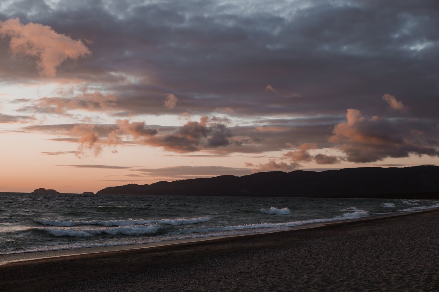
Pukaskwa is also the least accessible. It’s nearly 12 hours of driving from Toronto to get there, almost four hours from Thunder Bay and five hours from Sault Ste. Marie. It also feels the most remote. Most of the time, you’ll hear nothing but the crash of waves against the shore, the loon calls loons on the water and the rustle of leaves in the wind. It’s truly paradise.
At this park, you’ll see gorgeous landscapes of pines, find the smooth granite of the Canadian Shield, rest on the soft sandy beaches, listen to the call of the loons, and maybe even see a bear or moose that call this park home.
Throughout the park, you’ll see the connection between the Anishinaabe First Nations and Pukaskwa National Park. From the visitor centre to Anishinaabe camp to the interpretive trails, you’ll learn a lot about the people and culture that calls this place home.
There’s honestly so much to do in Pukaskwa, hiking, camping, backpacking, swimming, exploring, wildlife viewing and so much more. The best part of this park is that you could stay here forever and only see a sliver of it.
RELATED: Everything you need to know about Pukaskwa National Park [+ hiking guide]
Hours of Operation
The park facilities are open from Victoria Day to Labour Day (late May to early September), but trails stay open until mid-October.
Best hikes in Pukaskwa National Park
Pukaskwa National Park offers some of the best hiking in Ontario. No matter which trail you take, you won’t be disappointed. Several trails take only a few hours to complete, like the short Beach Boardwalk Trail that leads you to Horseshoe Bay, or the Southern Headland Trail that takes you to some of the best viewpoints of the wild coastline of Lake Superior, or the Manito Miikana Trail that head up a rocky ravine to incredible panoramic views or the Bimose Kinoomagewnan Trail where you can learn about the Ojibway Seven Teachings.
If you’re up for a larger trip, then you’ll want to take the 18km hike to White River Suspension Bridge via the Coastal Hiking Trail. Getting to the White River Suspension Bridge is no easy task. It takes about 6 to 9 hours, depending on how fast you walk.
The first 4.5km (and also the last 4.5km) was the most challenging part of the hike, but then it evened out into a relatively flat section where it was much easier to walk at a good pace. The view at the suspension bridge is unbeatable, and the long, arduous trek there is worth it.
Where to stay near Pukaskwa National Park
There’s nothing quite like camping at Pukaskwa National Park. It just feels so remote and silent; it was probably my favourite place to camp when I went on my Lake Superior road trip. But it also made me the most nervous.
Why you ask?
Well, Pukaskwa National Park is a first-come-first-serve camping system. There are only 67 camping spots in the Hattie Campground, 37 electrical sites and 30 non-electrical sites. There are also five oTENTiks available for booking.
Since it took me a while to figure out that you couldn’t reserve the sites, and no real information online on how it works, let me break it down for you.
When you arrive at the park, you hop out to talk to the people at the gatehouse, they’ll tell you whether or not the campground it full. Then you’ll go search for a site. In our case, the whole southern loop was full, and we grabbed one of the few remaining campsites in the northern loop. If the campsite was full, we were going to backtrack to White Lake Provincial Park or head forward to Neys Provincial Park.
Once you pick your campsite, the park wardens suggest you place something there (or on our case, my travel buddy hopped out and stayed at the site while I went back to the gatehouse) to mark that the campsite has been chosen. Then you go back to the gatehouse to check in and pay.
Then settle in and set up camp!
If you want to set off on the 63km-long coastal hiking trail, you can camp at one of the 65 backcountry campsites in the park. Some are hike in, some are paddle in.
Don’t miss
Don’t miss the view of Horseshoe Bay. If you take the hike to White River Suspension Bridge, you can cool off in the freezing waters of Lake Superior at Horseshoe Bay. This beach of soft sand blends into the calm waters of the lake. And it stays shallow for quite a while as you wade into the waters.
After our hike, the sun was warm, and the jump in the lake was so refreshing. Jump in if you dare! But my phone died, so I never captured the beautiful Horseshoe Bay in the sunshine, because the fog and clouds rolled back in the next day.
Share the chair location
Like the other national parks in Ontario, there is a set of red chairs located on the Southern Headland Trail overlooking Hattie Cove. The view is incredible!
RELATED: The Best Nature Books for your Next Adventure in the Great Outdoors
Rouge National Urban Park
Finally, Rouge National Urban Park is the only national park in Ontario that is confined within city limits. Rouge National Urban Park is actually quite large. At 80 square kilometres, it’s about the size of Disney World, but right in the heart of Toronto.
It is the complete opposite of the city, however, with some of the last remaining farmland, large swaths of Carolinian forest, marshland, a beach and Toronto’s only campground.
Rouge National Urban Park is also the newest of national parks in Ontario, dating back to about 2011, when Parks Canada helped create the park from an existing conservation area, making it the largest urban protected land in North America. It’s more than 20 times larger than Central Park in New York City.
What’s even more fascinating about this stretch of land is that evidence was found dating the human history of the area back over 10,000 years, including some of Canada’s oldest known Indigenous sites.
Despite being an urban park, there have been sightings of wildlife here, especially black bears. If you see a bear from a distance, leave it alone and do not approach (and don’t take a selfie with it, that’s just stupid). Then report the sighting to Park wardens.
Before you go, you should download the Rouge App, the official guide to the park. It can help you locate parking, trails, welcome areas and more.
Hours of Operation
Rouge National Urban Park is open 365 days a year, and better yet, entrance is free!
Best hikes in Rouge National Urban Park
Rouge National Urban Park is made of several sections of parkland stretching from Lake Ontario to Glasgow, 25km north.
One section of beach along Lake Ontario has a short 500m Rouge Marsh Trail, beach and canoe launch. Here you can learn about glacial lakes and the ecosystem of the Rouge River Marsh.
The Zoo Section, which is the most popular and accessible, has most of the beautiful trails, like the Vista Trail, which takes you along the Rouge River Ravine and up onto a viewing platform. We were there in summer, but I bet this would be an excellent place to see the fall colours in Ontario.
The Orchard Trail is also a great trail through a remnant orchard. You’ll likely see remnants of early European settlement on this trail too.
The Cedar Trail and Beare Wetlands Trail takes you along the wildlife-rich area of Beare Wetlands of the Rouge River.
The middle section has several easy to moderate trails along forest paths, meadows, unique habitats and creek crossings.
The northern section is made up of farmland, but there is a trail at the northernmost point of the park. Coyote Trail loop trail traverses several ecosystems, including forests, a pond and meadows.
Where to stay near Rouge National Urban Park
There are limited camping options within Rouge National Urban Park. The one campground, Glen Rouge Campground, has 113 sites, with a mix of serviced and unserviced sites as well as oTENTiks.
However, the campground is closed in 2020 and 2021 due to some capital upgrades Parks Canada is making to the whole campground. We’ll have to wait to see what it will look like when it reopens.
So where can you stay near Rouge National Urban Park? Well, there’s this tiny home with an awesome circular window overlooking the park. It’s pretty basic, but you can definitely live out all your #cabinvibe dreams here.
Don’t miss
Don’t miss the view from the Vista Trail observation deck. Overlooking the Little Rouge River, this observation deck takes you higher to get a stunning view of the urban park. It’s a famous spot to see the fall colours and to enjoy a lovely sunny day!
Share the chair location
There aren’t any red chairs currently in Rouge National Urban Park. Hopefully, they will be added soon!
RELATED: 25 best scenic lookouts in Ontario you have to see for yourself
Tips for visiting National Parks in Ontario
The one takeaway you need to remember when visiting the national parks in Canada is that you are in a wilderness area, and anything could happen. From wildlife encounters to personal injury, you’ve got to be prepared. Check out the Adventure Smart app to prepare for your journey into Ontario’s national parks
These places are some of the most pristine natural environments in Canada, which is why you also need to make sure to pack out all your garbage and leave your campsite or day-use site cleaner than when you found it.
Whether you’re hiking, biking, swimming, camping or stargazing, enjoy your time in Ontario’s national parks.



![Everything you need to know about Pukaskwa National Park [+ hiking guide]](https://images.squarespace-cdn.com/content/v1/6495d3b60f950e6c0e7c842f/1687544873523-A8Z7P3OTJ503YPBVEG7C/guide-to-pukaskwa-national-park.jpg)
![Beginner's guide to camping + camping essentials + recipes [free checklist]](https://images.squarespace-cdn.com/content/v1/6495d3b60f950e6c0e7c842f/1687545649255-ZI06656IWYUR3MS8696D/beginners-guide-to-camping-1024x612.jpg)


Discover the largest freshwater island in the world. This one-week itinerary will help you find the best things to do on Manitoulin Island, places to stay, where to eat and more.