Welcome to My Wandering Voyage, an adventure travel blog
Let these posts be an introduction for you to new places, ideas and adventures. Stitched together from my travel experiences, these posts are one part travel storytelling and one part guidebook.
Here, you’ll find info-packed travel itineraries, handy travel tips, and guides for outdoor adventures.
Happy travels!


A slow travel guide to the hilltop towns of Southern Tuscany
Escape the crowds and explore the Grosseto region in southern Tuscany. From Saturnia’s thermal springs to the medieval hill towns of Pitigliano and Montemerano, this travel guide is perfect for slow travel lovers.

A slow travel walking tour of Sorrento, Italy
Planning a trip to Italy? This self-guided walking tour of Sorrento is the perfect way to explore the city at your own pace. Stroll through historic piazzas, visit hidden gems, take in coastal views and enjoy delicious Italian food along the way.

The Ultimate Guide to Paros, Greece: How to Travel Slowly and Savour the Cyclades
Dreaming of a laidback escape to the Greek islands? This slow travel guide to Paros, Greece shares how to explore the island mindfully, through places to get lost in, sandy beaches to relax at and authentic local places to eat.
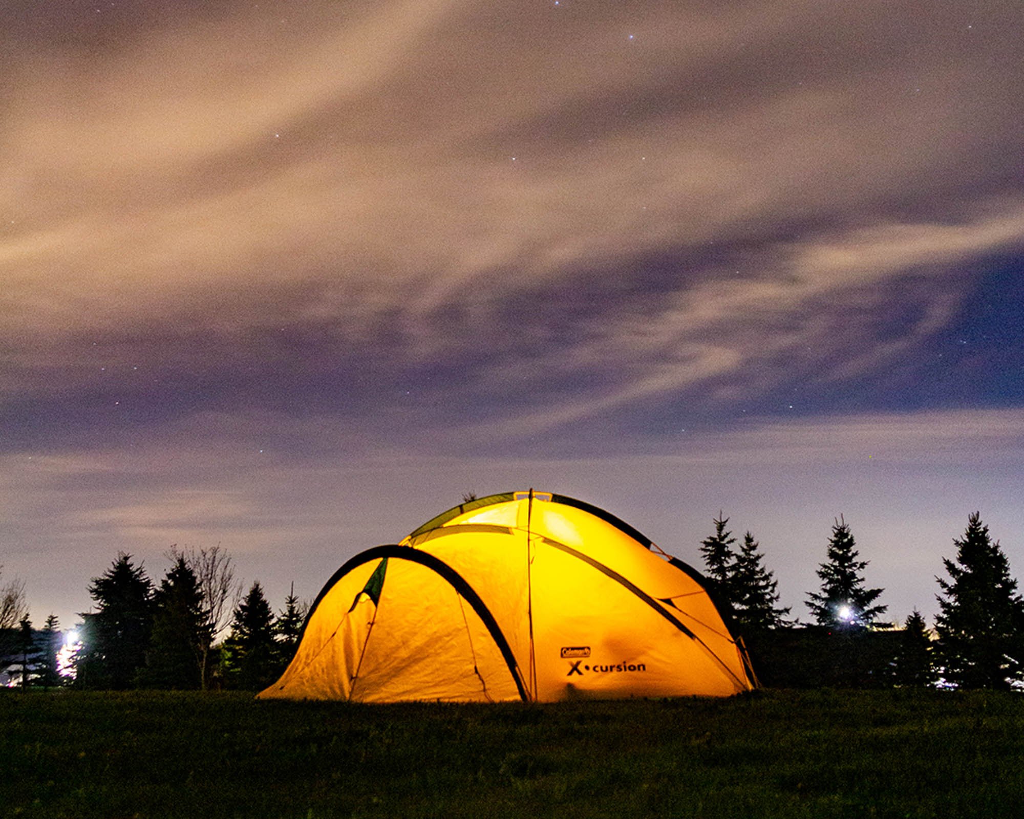
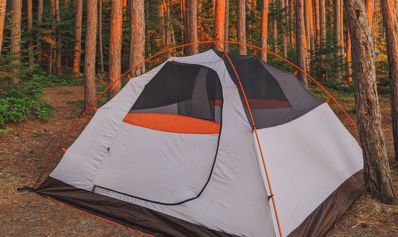
Car Camping Essentials You Actually Need!
Dreaming of cozy campfires, starry nights, and fresh forest air? Here’s my go-to car camping essentials list; full of practical, comfy gear that makes camping easy and enjoyable. Whether you’re new to camping or just looking to upgrade your setup, these tried-and-true essentials will help you ease into the season with confidence.
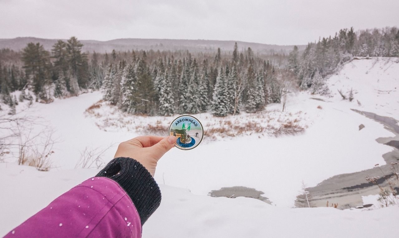
The ultimate guide to the best Ontario Parks to visit
Looking for the best Ontario Parks to visit? Whether you're chasing waterfalls, planning a peaceful camping trip, or hiking through wild backcountry trails, this ultimate guide covers more than 70 of the most breathtaking and adventure-filled provincial parks across Ontario. With highlights, must-do activities, and insider tips based on personal experience, you'll find inspiration for your next outdoor escape.

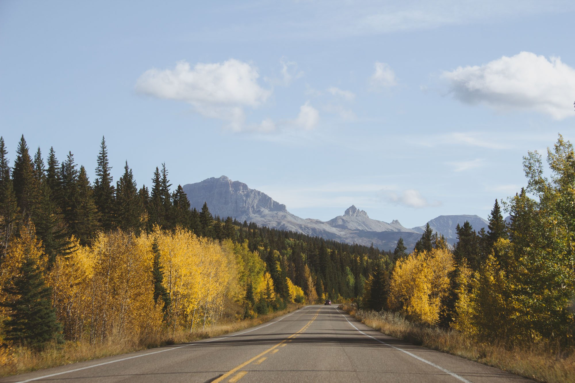
How to visit Banff without a car
Parking in and around Banff can be a nightmare, which is why it’s easier than ever to visit Banff without a car. Here’s everything you need to know about getting around Banff without a vehicle

The Ultimate Weekend Guide to Prince Edward County
Take a long weekend to visit one of Ontario’s premier destinations. Here are the best things to do in Prince Edward County.
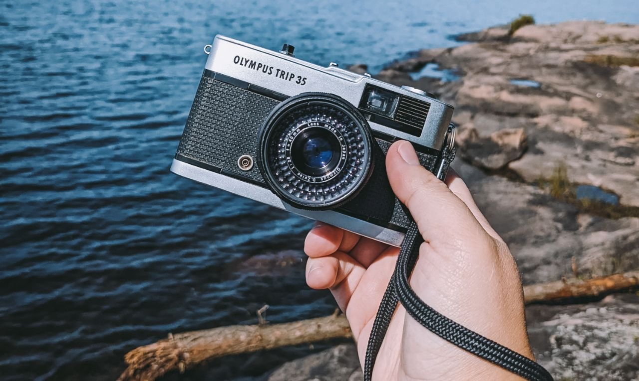
The Olympus Trip 35 - a perfect travel film camera
The Olympus Trip 35 is a compact, battery-free point-and-shoot 35mm film camera known for its ease of use and quality. When it was released in 1968, it was marketed as the perfect film camera to take on your travels.
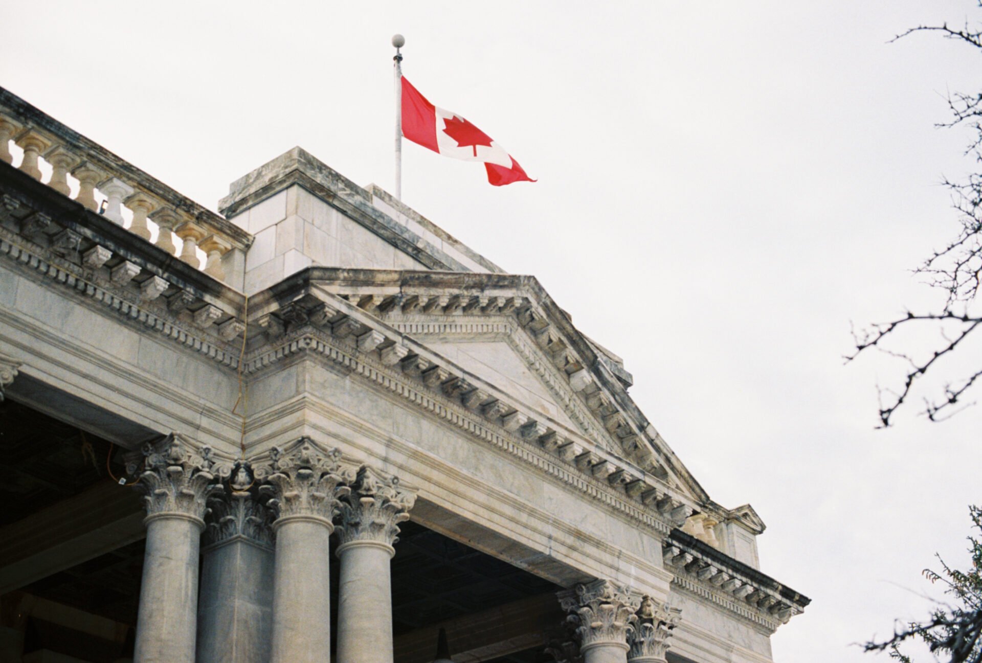
Against the Grain: A Journey Back to Film Photography
What would you do if you only had 36 pictures that you were allowed to take on your vacation? How would you spend those images? What would you want to capture? What would be important to you? A little while ago I decided to jump back into film photography and I wondered what it would be like shooting film on vacation? This is my journey back into film photography.
Best things to do on Manitoulin Island
Discover the largest freshwater island in the world. This one-week itinerary will help you find the best things to do on Manitoulin Island, places to stay, where to eat and more.
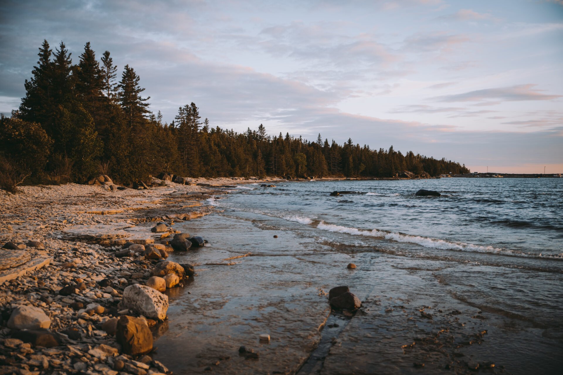
The Ultimate Guide to Lake Superior Provincial Park
From hiking all the incredible trails, to stargazing in some of Canada’s darkest skies, to enjoying all the scenic views, there are so many amazing things to do at Lake Superior Provincial Park where you can discover Ontario’s superior wilderness!

Best Gifts for Outdoorsy People - Gifts for Campers, Hikers and Adventure Travellers
There are so many incredible gift ideas for hikers, campers and adventure travellers out there. This list of best gifts for outdoorsy people will help you pick the perfect present.
Best Ontario Parks to visit in the Winter
Grab your snow boots and a sense of adventure because you won’t want to miss the best Ontario Parks to visit in the winter.
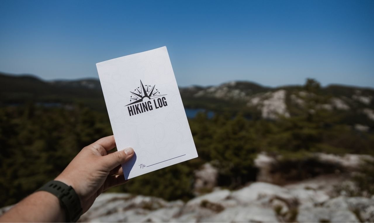
The 37 Best Hikes in Ontario
Discover the 37 best hikes in Ontario, from scenic waterfalls to rugged cliffs and lush forests. Whether you're a beginner or an experienced hiker, find your next adventure on these stunning trails. Best Ontario Hikes.
31 Best Places to go Camping in Ontario
Ontario’s incredible landscapes were made for outdoor-lovers. With camping becoming an increasingly popular pastime in Ontario, this list helps you discover new places to go camping in Ontario.
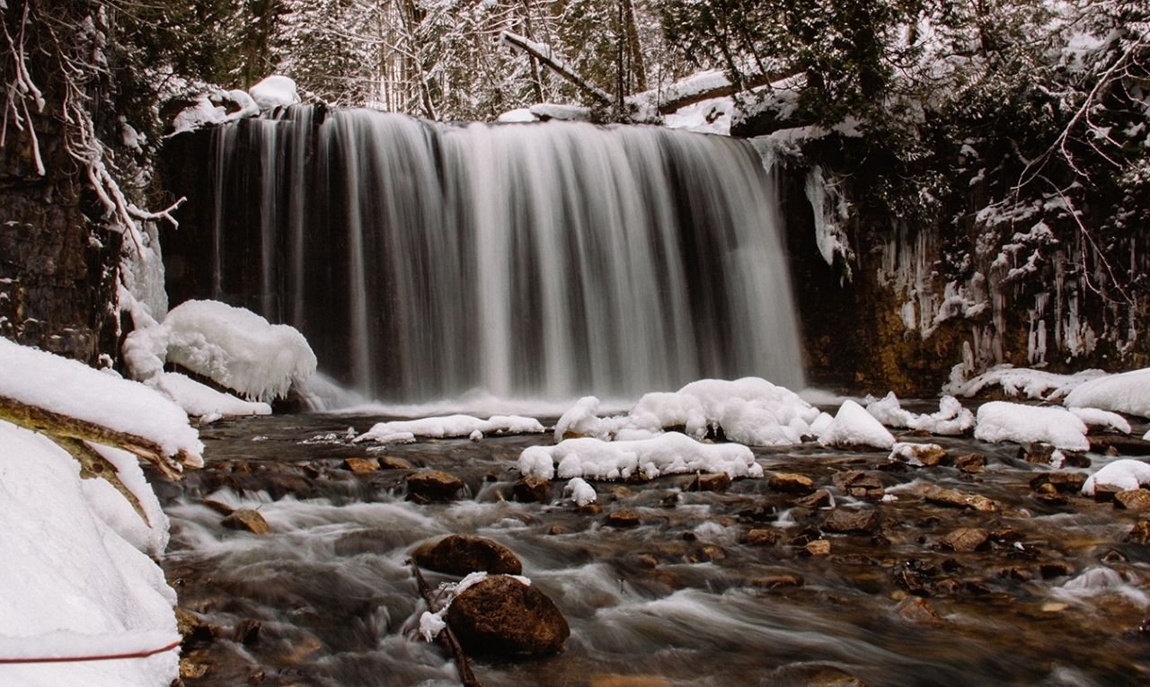
Check out these incredible Grey County Waterfalls in Winter
What do you get when you combine the Niagara Escarpment and rushing water? Phenomenal waterfalls! Discover Grey County waterfalls in the winter and see this beautiful landscape in a whole new lens.
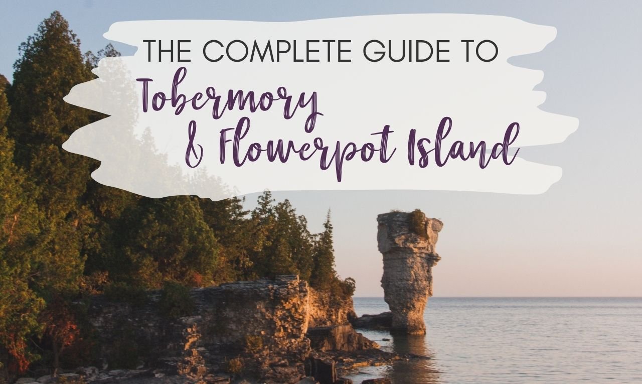
The Complete Guide to Tobermory and Flowerpot Island Camping
See the stars and watch the sunrise on Flowerpot Island near Tobermory, Ontario. Flowerpot Island lets you have the island (almost) entirely to yourself. This guide aims to give you everything you need to know to have an incredible experience in Tobermory and Flowerpot Island.
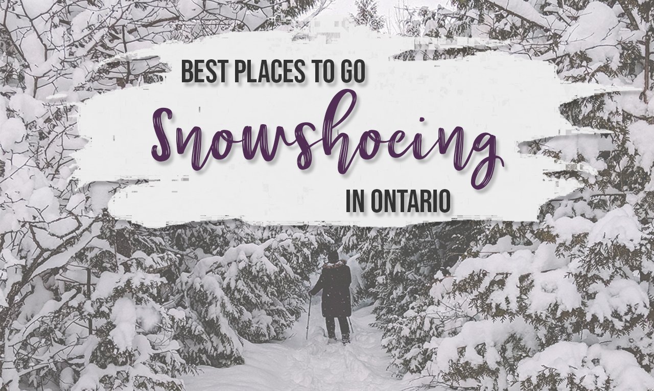
11+ stellar places for snowshoeing in Ontario
Looking to take up a new activity this winter? Try snowshoeing in Ontario. There are so many great snowshoeing trails in Ontario to explore.

100 Unforgettable Ontario experiences that make the perfect gifts
Gifts can cause unnecessary stress during the holiday season. Forego the physical gifts and give someone the gift of an unforgettable experience right here in Ontario. Check out these memorable Ontario gift experiences.

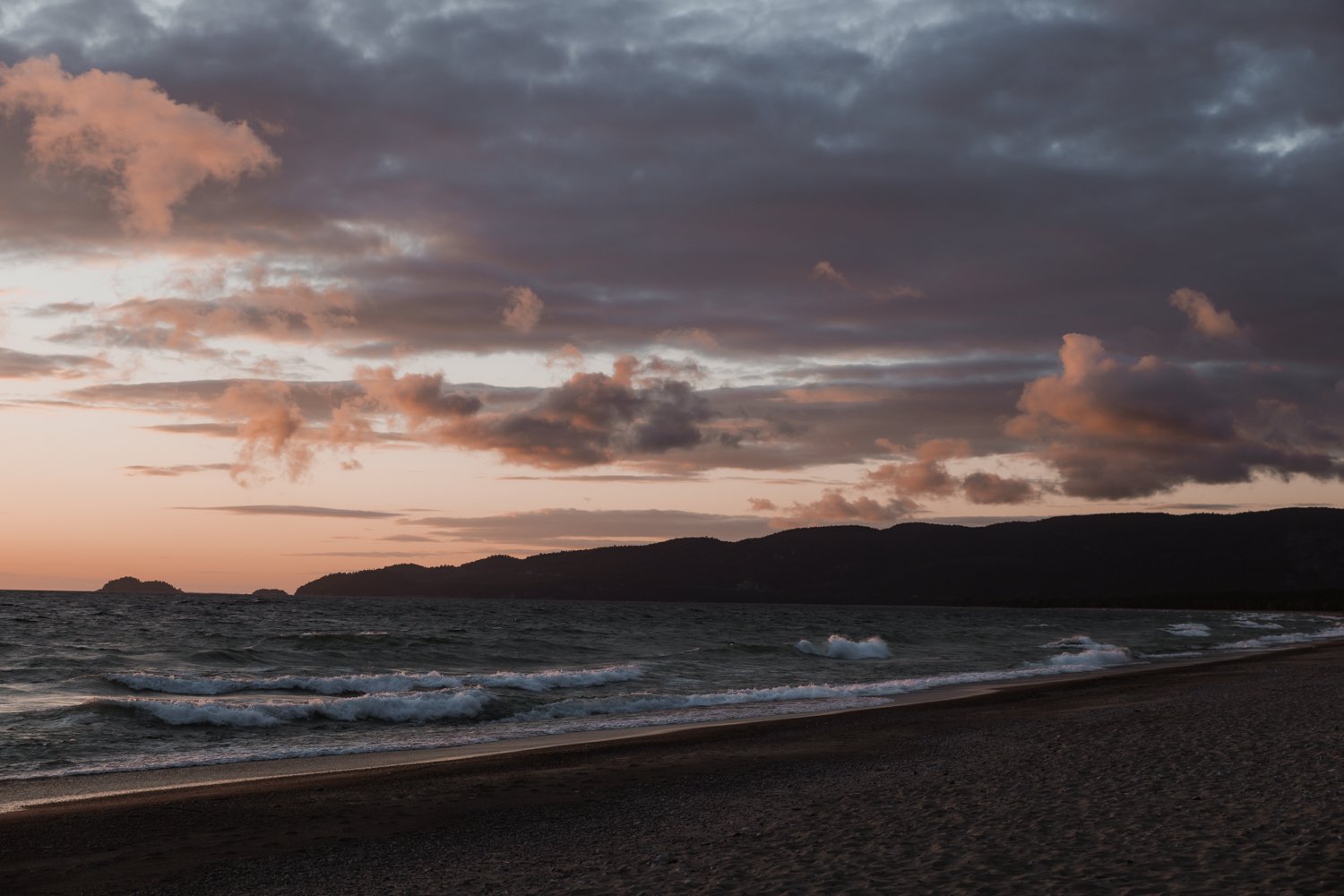
Toronto to Thunder Bay: a 10-day Northern Ontario road trip along Lake Superior’s spectacular coast
Discover Lake Superior on this Toronto to Thunder Bay road trip. This 10-day Northern Ontario road trip will take you to spectacular vistas, magical waterfalls and must-see places along Lake Superior.